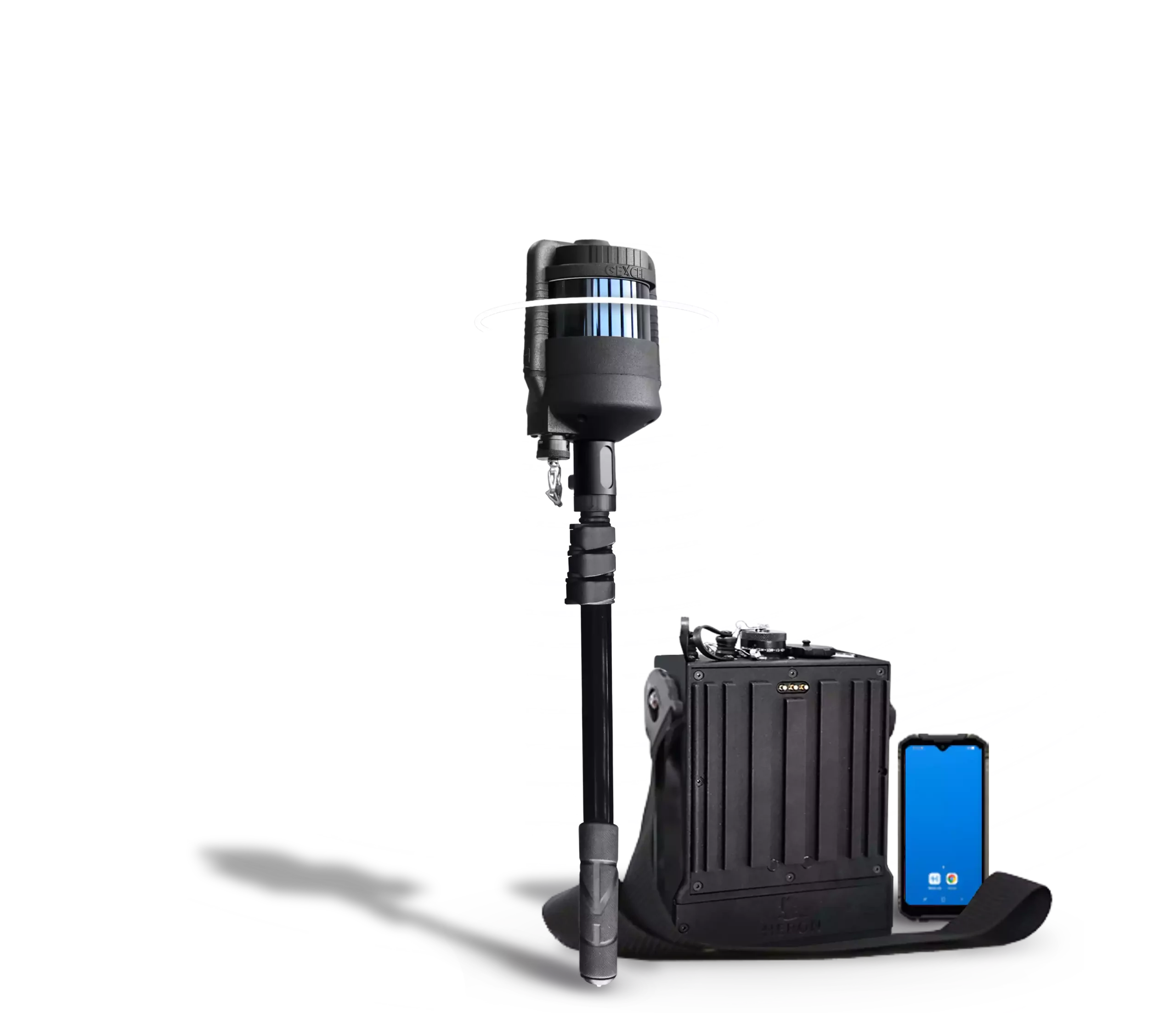
HERON LITE
PORTABLE 3D MAPPING SYSTEM
— LiDAR sensor at 32 channels
— Max range up to 300 m
— Indoors, outdoors, underground mines and stockpiles
— Geospatial applications
— Software included
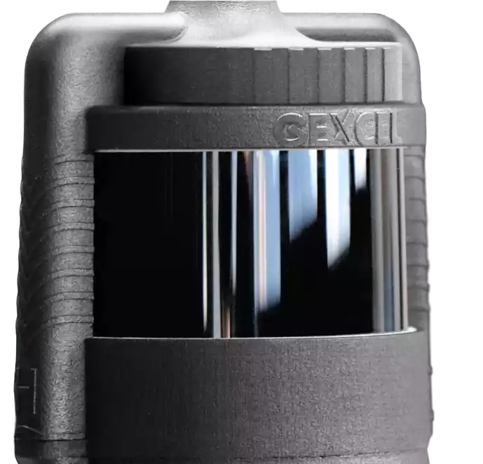
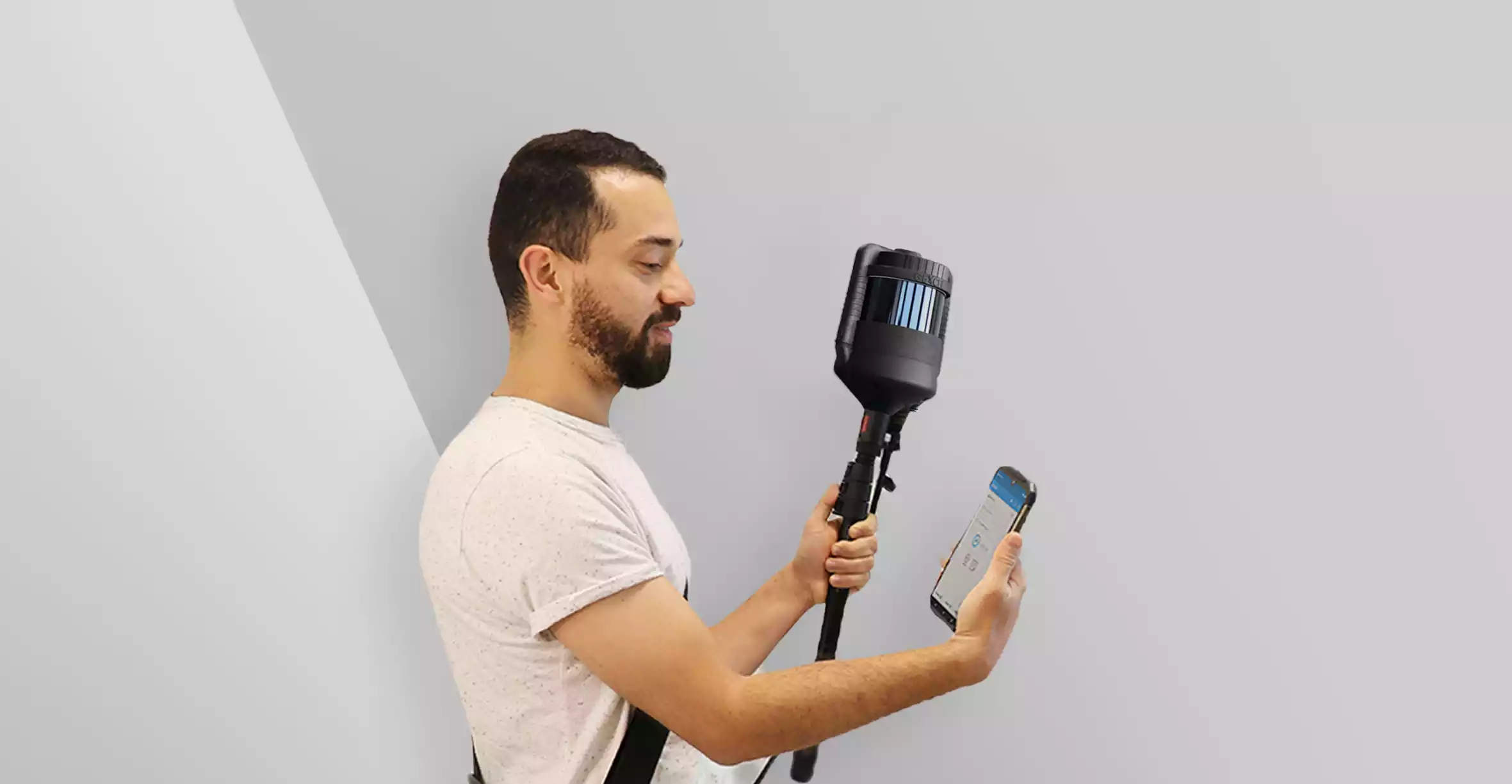
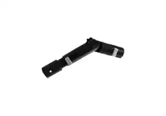
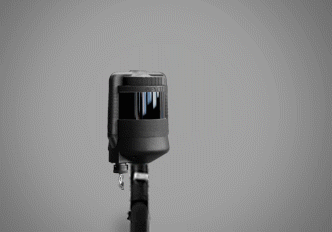
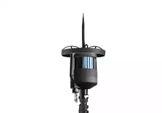
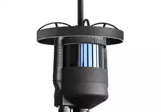
LIDAR SENSOR


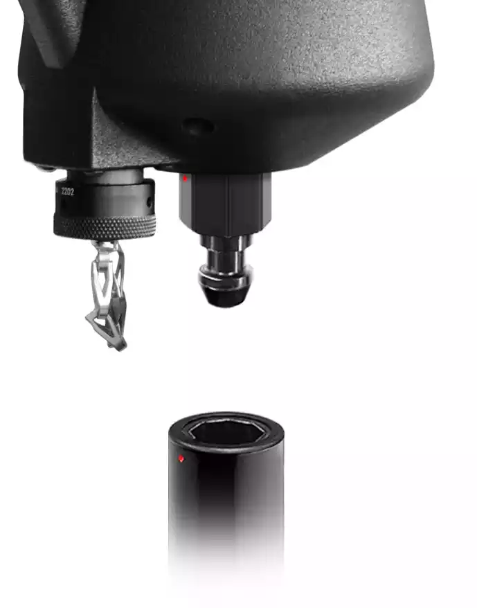
Detachable head
Easily attached the capture head to telescopic poles and vehicles (cars, quads, robots). Measuring cavities and inaccessible areas becomes child’s play, thanks in part to the ability to use HERON upside down.
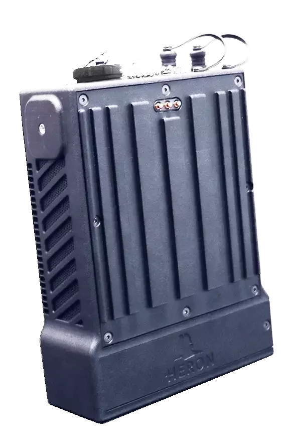
SYSTEM CONTROLLER
Lightness and power in a small space
— Remotely driven via Wi-Fi
— Various usage configurations
— Data storage on USB flash drive: handy and confidentiality
— Internal battery
— Additional batteries for non-stop acquisitions

Internal battery
USB for data storage
confidentiality and privacy
Wireless connection to PDA
Only 1085 g
lightweight
“Plug&Go” extra batteries
non-stop acquisitions
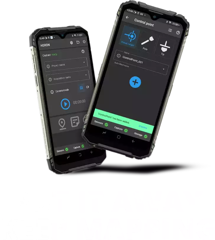
PDA
Personal Digital Assistant
Convenient control unit to easily manage your surveys, even while keeping it in your pocket
Wi-Fi connection to the Controller
Advanced acquisition of control points
Easy and intuitive interface
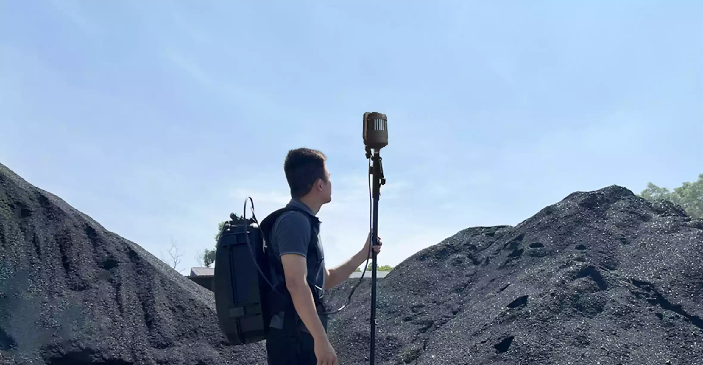
APPLICATION FIELDS
No limits acquisitions
Compactness, versatility and advanced software make HERON the perfect choice for multiple operational needs.
HERON LITE easily adapts to indoor and outdoor environments, including narrow and dark spaces, underground mines and caves, and stockpiles volume computation. Perfect for geospatial applications.
Underground mines
Stockpiles volume
Industrial plants
Multisensor projects
BIM and constructions
Touristic routes
2.5D Maps
ACCESSORIES
EXPAND YOUR RANGE OF MOTION
— Improve efficiency in the field
— Solve specific surveying needs
— Increase the areas in which to operate
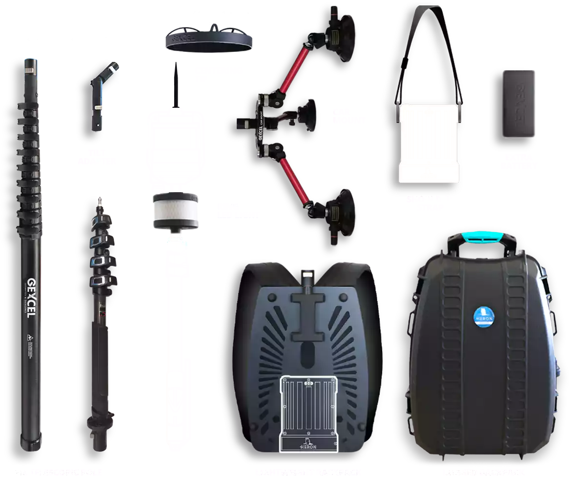
EXTRA BATTERY
standard capacity
More
This proprietary battery can be easily connected to the Controller without interrupting the acquisition, increasing the battery life by 2 hours and 30 minutes.
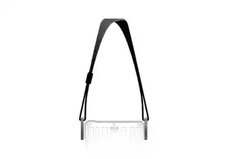
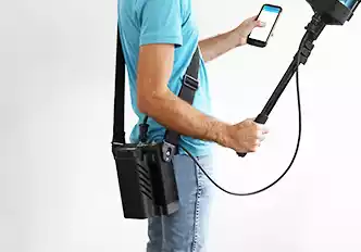
SHOULDER STRAP
To bring the Controller in handheld configuration
More
Equipped with a quick controller attachment system, it enables surveying activities in a convenient and comfortable way.
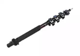
TELESCOPIC POLE
extension from 56 to 180 cm – weight 1000 g – cables included
More
Telescopic pole (length up to 180 cm) on which the HERON capture head can be mounted. A long cable establishes a proper connection between the acquisition head and the controller.
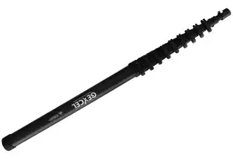
TELESCOPIC POLE
extension from 115 to 625 cm – weight 1880 g – cables included
More
Telescopic pole (length up to 625 cm) on which the HERON capture head can be mounted. A long cable establishes a proper connection between the acquisition head and the Controller.
TILT ADAPTER
to tilt the capture head
More
Mounted on any HERON pole, it allows you to safely tilt the capture head and fix a position during acquisition in special environments.
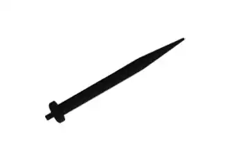
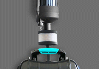
CENTERING TIP
for on-ceiling control points
More
This special tip can be easily mounted on the top of the capture head and used to pick up control points placed on the ceiling using the dedicated “Tip” application.
HEAD PROTECTION RING
To keep the capture head safe
More
Protects the catching head from accidental impacts by cushioning the blow.
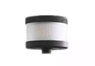
RING LED LIGHT
4000 lumen – 36 W – weight 700 g
More
Effectively illuminate the space around you to take photos and/or move around safely.
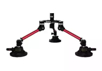
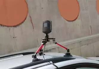
CAR MOUNT
supported speed: up to 30 Km/h
More
Durable and secure system with professional-grade suction cup mounts to attach the HERON capture head to a car/van and a wired cable to connect it to the controller inside the car.
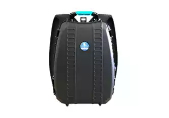
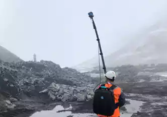
RUGGED BACKPACK
for acquisition and transport
More
Wearable during acquisitions keeping hands free while protecting components housed inside. Especially suitable for harsh environments. Wired interior to ensure quick setup of components. Perfect for carrying the system compactly.
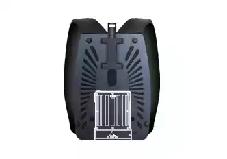
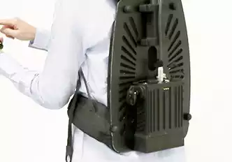
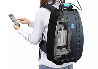
LIGHTWEIGHT BACKPACK
ultra thin – wearable
More
Equipped with a quick controller attachment system, it enables surveying activities in a convenient and comfortable way.
SOFTWARE
Create and navigate 3D models and share results
HERON® Desktop
Post-processing of SLAM data
Find out more
Software to extract 3D point cloud models from HERON acquisitions. It contains patented SLAM algorithms; time bar to organise your processing as desired; filter of moving objects, and more. Advanced mode for the total control of SLAM algorithms’ parameters. Use of control points and control scans as constraints.
HERON Constraints tool
Advanced control points processing
Find out more
Take advantage of HERON algorithms to anchor 3D models to constraints so as to increase the overall accuracy. These constraints can be GNSS coordinates, ground points, physical/natural points but also georeferenced scans (TLS, UAV, Mobile). With this approach, you can also geo-reference the model and keep an eye on drift effects that may occur, for example, in long straight paths.
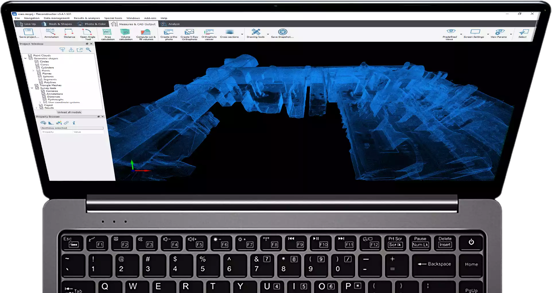
Reconstructor®
Advanced LiDAR data processing
Find out more
Professional software for advanced point
cloud management and editing. Data
processing from HERON or from terrestrial/
mobile/UAV laser sensors. Powerful automatic
and target-less scans’ alignment. Data export
to ReCap, E57 and various standard formats.
Full compatibility with various third-party
software and cloud platforms. RGB camera
calibration, HERON survey navigation, mesh
and DTM generation, volume computation,
sections and profiles. More details
Reconstructor HERON add-on
Set of commands for HERON data
Find out more
Add commands to Reconstructor to manage and optimize HERON survey results. Adjust the trajectory, navigate and retrace the survey with 360° spherical views, obtain fully measurable technical views that can be shared with the end client, produce video or georeference the data by constraining it to static scans, and more. More details
GoBlueprint®
Sharing of 2D easy-measure maps
Find out more
An intuitive viewer of scaled X-ray images, designed to easily extract measures (volumes, distances, areas) even by users not skilled in 3D. Compatible with any Windows-based tablet/PC. Free tool designed to be provided to end customers for convenient output management. More details
Reconstructor MINING add-on
Functions for territorial data analysis and output
Find out more
Set of additional commands for Reconstructor. Advanced calculation of volume/cut&fill volume, topographic mesh, extraction of sections from plans and much more. This package of functions is particularly suitable for those working on spatial data, quarries or open pit mines to optimize the development of a site and make work progress decisions based on detailed information. More details
Reconstructor COLOR add-on
Functions for 3D model coloring
Find out more
Set of additional commands for Reconstructor. Creation of meshes with photographic textures, the use of panoramic images, the management of the projectors and much more. This set of functions is particularly suitable for those who want to work with high-resolution images to integrate with their 3D models and obtain high-level results such as technical tables with photographic details. More details
HERON ROS Converter tool
HERON data for SLAM development projects
Find out more
Add this tool to your HERON system to import raw data into the ROS language, the most used for robotics and research activities. Designed for research institutes, universities and companies with R&D departments that wish to customize, develop and test their own SLAM approach starting from synchronized and calibrated sensors. More details
Cintoo Cloud
Digital Twin projects and cloud sharing
Find out more
A cloud-based Reality Data management and collaboration platform. By transforming large point cloud data into 3D meshes, the data is now shareable, collaborative, and distributable with clients, contractors and your own teams. More details
EdgeWise
Automatic switching from 3D scans/point clouds to BIM models
Find out more
Designed to automatically extract features from point clouds. EdgeWise is an as-built modelling platform that uses advanced algorithms to automate scan-to-BIM workflows. It models as-built pipes, structural elements, ducts, walls, conduits, and cable trays from mobile and terrestrial point clouds. More details
Verity
“As-built/As-designed” verification
Find out more
Verity compares laser scans of as-built conditions against any 3D Navisworks model to generate accurate quality assessments. Sophisticated computer vision algorithms compare the point cloud to the model, enabling Verity to measure the distance between where an element was meant to go and where it was built. The result is a much more accurate, detailed, and complete variance analysis. More details
HERON is developed under a licence of the European Commission Joint Research Centre
E. info@gexcel.it | P. (+39) 030 6595001
HEADQUARTERS
Via Branze 45, I-25123 Brescia (BS) ITALY